|
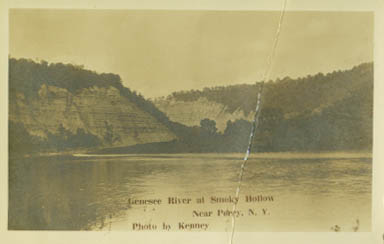
There are really TWO gorges in Letchworth Park. One is the Portage Gorge at the southern end of the Park. The other was the famous Mt. Morris Highbanks. Although the Highbanks were not part of the original Glen Iris Estate and were not acquired by the State until later in the 20th century, they were always a popular tourist attraction. It is not surprising then, that a variety of postcards were published of the Highbanks. You will find below some of the postcards that we have in our collection. We have attempted to place them in order from Smokey Hollow going north, but some are difficult to place. Please see Part 2 for a current park map of the Highbanks area. |
 |
 |
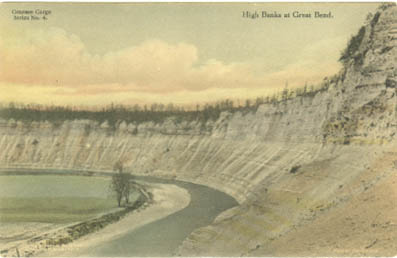
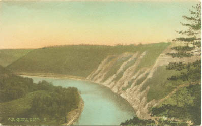 This card is labeled "Genesee Gorge Series, No.1. High Banks near Mt. Morris. It was published by the Albertype Co, Brooklyn, N.Y. in the 1920's and 30's. |
 |
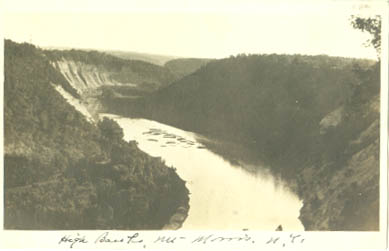
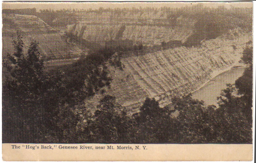 To the north lies the most popular geological feature of the Highbanks - the famous "Hog's Back" shown above. Click to see a photograph of the Hog's Back during the Flood of 1972 |
|
"Squakie Hill" was the name of the Seneca village and reservation that was located on the northwest side of the Highbanks. See the map of the Squakie(or Squawkie )Hill reservation for more information. 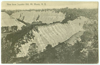 |
 |
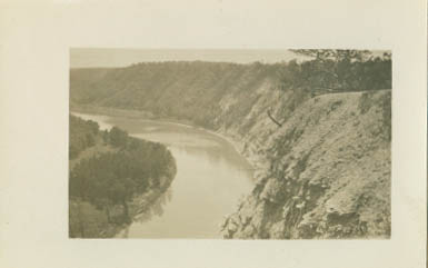
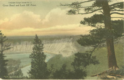 "Great Bend and Look Off Point" Incidentally, the term "Great Bend" is not usually used for this section of the Park - "Great Bend" or "Big Bend" is found just north of the Lower Falls area. |
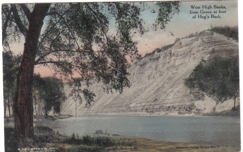 West High Banks, From Grove at foot of Hog's Back". Part of this grove can be seen in the previous postcard in the lower right hand corner. The grove was lost in the high waters formed by the Mt. Morris Dam. |
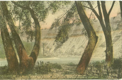 "High Banks From Bottom Near Hogs Back". This and many of the other hand colored postcards were sold by A.H. Jenks and Sons, Mt. Morris NY . |
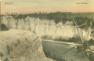 If you examine the postcard carefully, you will see a man standing on Look Off Point. This beautiful viewing spot can still be reached from the Highbanks Recreational Area. |